Entry Points:

About Abajo Mountains
The Abajo Mountains, also called the Blue Mountains, rise to 11,360 feet in the southeastern corner of Utah. Overlooking the Colorado River Gorge on the west, Canyonlands National Park on the north, and the Montezuma Valley on the east, they are visible for a great distance, and their alpine forests are a striking contrast to the desert conditions below.
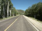
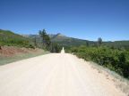
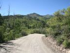
Monticello lies on the eastern flank of the mountains, and Blanding lies just to the south. A beautiful drive along a newly built paved road named Abajo Drive leads westward into the mountains from Monticello, skirts the northern side, and then descends towards Canyonlands. A dirt road passes between the peaks and comes down into Blanding, and another road makes the bumpy ascent to the top of Abajo Peak, leaving from Monticello. There are numerous other backroads around the mountain.
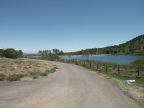
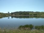
A number of small reservoirs have been built around the mountain which provide water storage as well as recreation. Loyd's Lake (with one 'L') lies a short distance southwest of Monticello. Monticello Lake and Foy Lake lie on the northern slopes of the mountains. Foy Lake is also named Spring Lake on some maps. Camp Jackson Reservoir is on the south slope of the mountains.