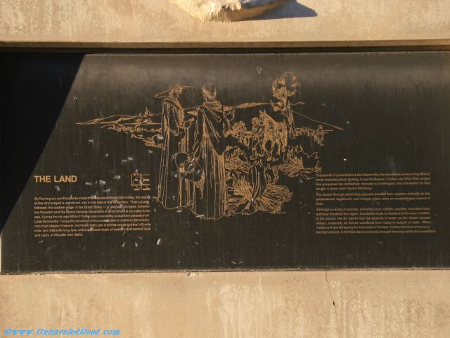
The Land
As Dominguez and Escalante made their way south from Utah Valley, the nature
of the land played a significant role in the fate of the expedition. Their course
followed the eastern edge of the Great Basin—a geographic region between
the Wasatch and the Sierra Nevada Mountains in which there is no outlet to the
sea. During the ice age Milford Valley was covered by a southern extension of
Lake Bonneville. Today the shoreline of the ancient lake is visible on the nearby
mountain slopes; however, the Great Salt Lake is all that remains of the 145-mile
wide and 346-mile long lake which covered much of western and central Utah
and parts of Nevada and Idaho.
Thousands of years before Lake Bonneville, the mountains surrounding Milford
were created by block faulting. It was the Beaver, Cricket, and Wah Wah ranges
that presented the immediate obstacle to Dominquez and Escalante as they
sought a route west toward Monterey.
The desert through which they passed reduced their supplies critically as the greasewood, sagebrush, and meager grass were an unsatisfactory source of
food.
Although a variety of animals, including mice, rabbits, coyotes, mountain lions,
and deer inhabited the region, Escalante made no mention of the area's wildlife
in his journal. He did record how the scarcity of water on the desert caused
delays, especially as horses wandered from camp in search of water. When
moisture finally fell during the first week of October, it was in the form of snow as
the high altitude, 5,000 feet above sea level, brought freezing cold to the expedition.