Entry Points:

About Garfield County
Jens Nielsen led a group of settlers from the Beaver area to settle in Panguitch in 1864. The settlement had to be abandoned during the Black Hawk Indian war, but it was resettled in 1871. From there the other towns of the county were settled over the next couple decades.
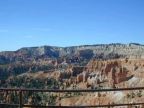
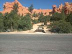
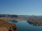
Garfield County was organized in 1882 and it was named after President James A. Garfield, who had been assassinated. It covers 5,158 square miles of rugged country across the central part of southern Utah. The Colorado River, which passes through a deep gorge called Cataract Canyon, in Glen Canyon National Recreation Area, forms the eastern boundary. Capitol Reef National Park and the 10,000 foot Boulder Mountain lie on it's northern boundary. Bryce Canyon and the Grand Staircase-Escalante National Monument cover much of it's southern boundary.